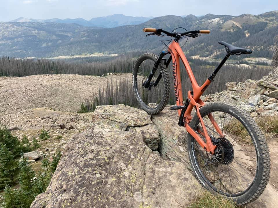
This part of Southwest Colorado is well known for fantastic and abundant biking trails in Pagosa Springs, Wolf Creek and surround areas. There are many opportunities to enjoy all types of biking trails including for paved trails around the lakes in the town of Pagosa as well as mountain biking in several surrounding wilderness area. of the San Juan forest. See the list below of some of the best trails. Bike trails are open from May to September.

Fourmile & Plumtaw Road
- Directions: From U.S. 160, turn north onto Lewis Street, take an immediate left onto 5th Street. Stay right on Fourmile Road until the road is no longer plowed and you see a plowed parking area. This out and back follows Fourmile Road then Plumtaw Road offering over 30 miles of trail.
Turkey Springs Mountain Biking Trails
- Directions: From Pagosa Springs, go 5 miles northwest on CR 600, then southwest 3 miles on FS 629 to trailhead. Parking lot and trailhead is on the left just after the cattle guard gate. The Turkey Springs mountain bike trail system consists of 14 interconnected single-track non-motorized routes, providing more than 30 miles of trail to ride.
- The multi-use trails include 7 and 12 mile loops.
- Wildlife and a scenic creek await you on the Turkey Springs Trail! Numerous loops originating from several different trailheads in the Turkey Springs, Brockover Mesa, and Martinez Creek areas offer riders a variety of options from which to choose.
- Graveled forest roads and ATV trails provide additional connectivity and loop options, creating a system in which one may ride for one hour or 12 hours without duplicating routes.
- Day hike the first few miles, or make it a four- to five-day backpack on the entire trail, the longest in this part of the wilderness.
- After signing in at the trail register, begin the gradual descent via Turkey Creek Trail 580 to a gate at 0.6 mile. After passing through this gate, be sure to close it.
- Soon after you’ll begin climbing an easy-to-moderate grade.
- After 0.8 mile you’ll have to cross an irrigation canal via a wooden plank bridge.
- This mountain bike trail system is open to all non-motorized uses, and is popular with hikers, horseback riders, and runners.
- Pets are permitted on all trails and will be frequently encountered.
- Several motorized trails and roads bisect the area, which are also open to non-motorized users.
Turkey Springs & East Monument Road
- Directions: From the junction of U.S. 160 with Piedra Road, go north on Piedra Road for 6.4 miles.
- Parking lot is on the left just after the cattle guard gate.
- This out and back ride starts on Piedra Road for 1/8 mile, turn left on Turkey Springs Road for 2.3 miles, right on East Monument Road – continues for 7 miles.
Turkey Springs Main Trailhead
- Directions: From the junction of U.S. 160 with Piedra Road, go north on Piedra Road for 6.4 miles.
- Parking lot and trailhead is on the left just after the cattle guard gate.
- The multi-use trails include 7 and 12 mile loops or just go out and back.
- Wildlife and a scenic creek await you on the Turkey Creek Trail.
- Day hike the first few miles, or make it a four- to five-day backpack on the entire trail, the longest in this part of the wilderness.
- After signing in at the trail register, begin the gradual descent via Turkey Creek Trail 580 to a gate at 0.6 mile.
- After passing through this gate, be sure to close it.
- Soon after you’ll begin climbing an easy-to-moderate grade.
- After 0.8 mile you’ll have to cross an irrigation canal via a wooden plank bridge.