Pagosa Springs has some of the best scenic drives in Colorado, surrounded by 3 million acres of wilderness and national forest areas. Below is a list of the favorite scenic drives in the area, listed alphabetically.
- Blanco Basin (40 miles round trip)
This is one of the most scenic drives in the state of Colorado, especially when fall colors are bright. The route is south on Hwy 84 for eight miles to the Blanco Basin turnoff (CR 326). Follow the road to the head of the Basin and to many magnificent views of the Continental Divide, Square Top Mountain and Oil Mountain. For an even more spectacular side trip turn right onto Castle Creek Road, cross the Rio Blanco and proceed to the end of the road at Fish Creek, approximately 6 miles. Roads are all weather and suitable for conventional vehicles. Return by the same route. - East Fork / Elwood Pass (100+ miles/all day trip)
On East Fork Rd, beyond Silver Falls, four-wheelers are recommended. The Canyon opens up into a breathtaking mountain valley that is privately owned, but through which public access is permitted. At the upper end of this valley, there is a fork – stay left toward Elwood Pass. This route will take you past the historic Joe Mann Creek, the old Black Diamond Mine, over the Continental Divide and to the old mining town of Summitville. - Lobo Overlook / Radio Tower (45 mi. round trip)
Suitable for conventional vehicles and as close to the top of the world as you can get by vehicle in this area! Turn north off US 160 at the summit of Wolf Creek Pass, follow the road up to the radio tower. A section of the Continental Divide Trail is accessible from the tower; parking is available. Additionally, a spectacular vantage point, restrooms and a picnic area are provided at the topographical crest of the mountain. - Mill Creek to Quartz Lake Trailhead (32 miles)
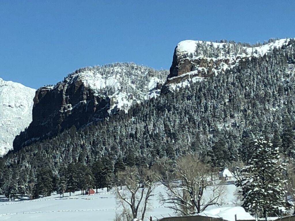
This route is suitable for all vehicles to the vicinity of Quartz Lake trailhead. Turn onto Mill Creek Road just north of the County Fairgrounds from US Hwy 84. At approximately 7 miles take the right fork and proceed east to the Nipple Mountain area, another 12 miles. The trip will provide a vast panorama of the upper San Juan Valley. Proceed through the saddle separating Oil and Square Top Mountains. From this vantage point you will be able to observe the Blanco Basin. The road dead ends at this point. Return by the same route. - Pagosa Junction (45-50 miles round trip)
Go south on Eighth Street out of Pagosa Springs, turning right on Apache St. which becomes Trujillo Road (CR 500), through the early-day settlements of Juanita and Trujillo. See historic Pagosa Junction, in a landscape more akin to New Mexico than to Colorado. From there, the route goes up Cat Creek Gap (CR 700) past the now deserted Talian Mine and the Lone Tree Catholic Church, a landmark. - Piedra Road Scenic Drive
To find Piedra Road, or County Road 600, turn North from Hwy 160. Piedra Road is a beautiful road that can be handled by a passenger car. There are a few stops that are worth a detour and wonderful picnic spots along the way. And, if you have a 4-wheel drive vehicle, consider taking Plumtaw Road back to town and turning the drive into a loop. - Summitville (80+ miles/all day trip)
On Wolf Creek Pass, approximately 6.5 miles from the east side of the summit, take Park Creek Road / FS Road 380, for another side trip in the area. Take some time to explore Summitville (mining ghost town last used in the 70s). This route is suitable for conventional vehicles. - Wolf Creek Pass (80 miles round trip)
You can easily spend a day exploring Wolf Creek Pass. Starting from Pagosa Springs, stop at Treasure Falls about 10 miles east of town. The next stop is the West Fork Valley Overlook, a scene featured in the movie “Vacation” and one certain to leave an impression. You will have a view of Treasure Falls from above – and a great vantage point of the valley below. The next stop is the continental divide and Wolf Creek Pass summit. A bit further past the summit, take a detour up to lobo overlook. Suitable for conventional vehicles and as close to the top of the world as you can get by vehicle in this area! As you head down the pass towards South Fork, check out Wolf Creek Ski Area and imagine it with 30+ feet of snow, where the most snow in Colorado falls each winter. Stop by Big Meadows Reservoir, Alberta Reservoir or Tucker Ponds to see small alpine lakes. And if you have a fishing pole, drop a line in. You’ll find there is plenty to discover on Wolf Creek Pass.